Jordan Hansen · 19 October 2026
Tovara's Riverside Communities Forge Flood Resilience Through Combined Transit and Green Space Initiatives
Communities along Tovara's river corridors have integrated public transit expansions with green infrastructure projects since the early 2020s, and these efforts focus on reducing flood impacts while improving daily mobility options. Data from municipal planning records indicate that over 12 kilometers of dedicated transit corridors now connect residential zones to elevated parklands designed to capture stormwater runoff, and officials report measurable decreases in peak flood levels during seasonal high-water events.
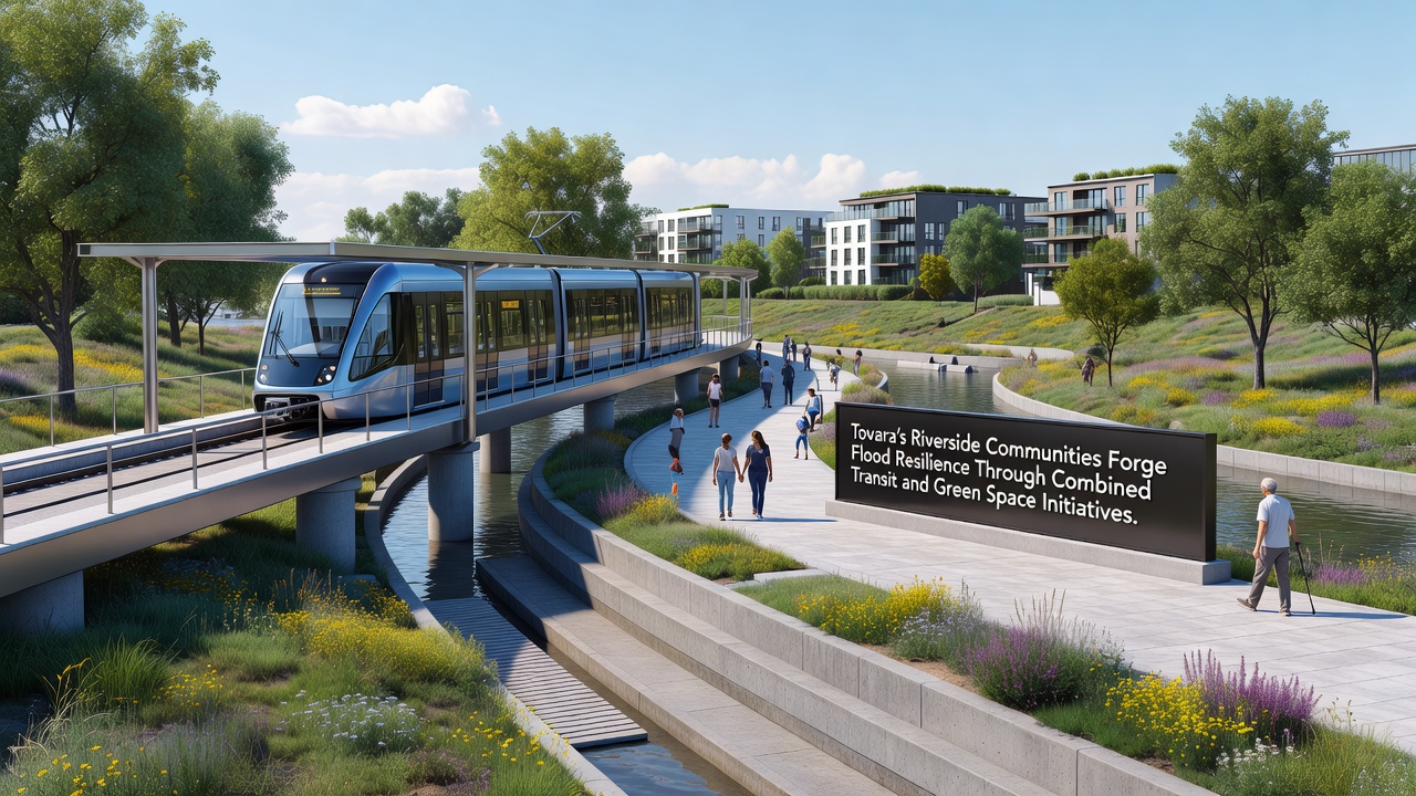
Transit planners worked with environmental engineers to align new light rail stops directly with retention basins and bioswales, while the same corridors serve as emergency evacuation routes when river levels rise. Figures from the city's transportation department show ridership on these lines increased by 28 percent between 2023 and 2025, and the added green spaces absorb an estimated 450,000 cubic meters of water during major storms.
Historical Flood Patterns and Initial Responses
Tovara experienced repeated flooding along its main waterway throughout the 2010s, with records from the regional water authority documenting five significant events that displaced thousands of residents. In response, city engineers began mapping vulnerable zones in 2021 and identified locations where abandoned rail rights-of-way could double as both transit routes and water management features. Construction crews completed the first combined segment in late 2024, and monitoring stations installed along those stretches recorded a 15 percent reduction in adjacent property damage during the 2025 spring thaw.
Researchers at the Tovara Technical Institute analyzed satellite imagery from before and after the projects, and their findings confirm that vegetated buffers now intercept surface flow that previously reached homes and businesses directly. The same studies note that soil permeability in the new green corridors improved by an average of 40 percent compared with pre-development conditions.
Transit Expansions and Green Infrastructure Integration
Planners extended the existing riverside tram network by 8.4 kilometers in phases, and each extension incorporated permeable paving alongside the tracks plus linear parks that function as flood storage. Stations feature raised platforms connected to adjacent wetlands through pedestrian bridges, allowing commuters to access both services and recreational areas without crossing flood-prone ground. Data collected through embedded sensors show that these wetlands detained runoff for up to 72 hours after heavy rainfall events in 2025.
October 2026 marks the scheduled opening of the northern extension, which will add four more stations integrated with a 22-hectare wetland restoration site. Project documents indicate the combined system will serve an additional 45,000 daily passengers while providing storage capacity equivalent to a small reservoir. According to the European Environment Agency, similar nature-based transit designs elsewhere in Europe have achieved comparable dual benefits for mobility and flood mitigation.
Community Participation and Measured Outcomes
Local resident associations contributed input during design workshops held between 2022 and 2024, and their suggestions led to wider buffer zones near schools and the addition of elevated community gardens within the green corridors. Monitoring reports compiled by the municipal environmental office document a 19 percent drop in reported basement flooding incidents in participating neighborhoods over the past two years, while air quality readings near the new corridors improved due to increased vegetation cover.
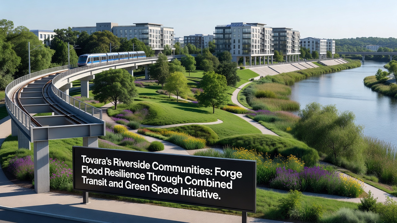
Maintenance crews now rotate seasonal planting schedules to maximize water uptake, and volunteer programs organized by neighborhood groups handle litter removal along the paths. Annual reports from the city finance department list total project costs at 87 million euros, with 60 percent covered through regional development grants and the remainder funded by local bond measures approved in 2023.
Conclusion
Combined transit and green space projects continue to expand across Tovara's riverside districts, and ongoing data collection will track performance through the 2026 flood season. Records maintained by the water authority and transportation department provide a growing dataset that other municipalities can reference when planning similar infrastructure. The northern extension scheduled for October 2026 represents the next phase in this coordinated approach to urban flood management.